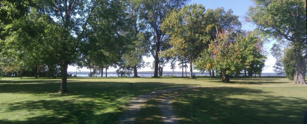
Late last month, representatives from the U.S. Department of Transportation’s Eastern Federal Lands Highway Division visited Werowocomoco to add the roads serving this historical site to the federal Roads Inventory Program database, a step toward opening the national park site in Gloucester to the public.
Located on the north side of the York River, the site was acquired by the National Park Service in 2016. Kym Hall, superintendent of the Captain John Smith Chesapeake National Historical Trail, which is administered by the Colonial National Historical Park, has previously indicated that the park is expected to open sometime within the next two to three years.
Among other information, the database contains an assessment of road conditions as well as GIS coordinates to document the length and width of roads. It also identifies funding needs for federal roads.
“The Highway Division’s visit to Werowocomoco, and their assessment of the property’s roads, is meaningful,” said Cindy Chance, c...
To view the rest of this article, you must log in. If you do not have an account with us, please subscribe here.

