
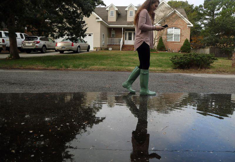
The Norfolk-based environmental nonprofit, Wetlands Watch, is seeking volunteers from Oct. 17-20 for its annual partnered community science project, Catch the King. This program invites participants in your own community to use Wetlands Watch’s mobile phone app, Sea Level Rise, to collect GPS data along the outer edges of where flooding occurs during high tides. For more information, and to register, visit www.wetlandswatch.org/catchtheking. The event’s name refers to tidal flooding that happens during king tides, when the full or new moon is in perigee (its orbit is closest to the Earth). On these days the moon’s gravitational pull elevates sea levels causing flooding over streets and infrastructure during high tides. These events are often called “sunny-day” floods because high tide cycles can cause flooding on a clear, sunny day. Those living in coastal Virginia may have already caught a glimpse of what to expect in October as the first wave of king tides brought extensive nuisance ...
To view the rest of this article, you must log in. If you do not have an account with us, please subscribe here.