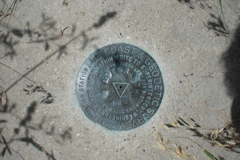
Last November, professional surveyors headed to Werowocomoco, located on the north side of the York River in Gloucester, to install four new National Geodetic Survey benchmark monuments, or survey markers, across the 264-acre National Park Service property.
Benchmark monuments, sometimes called datum points, are small, permanent markers placed in the ground to create horizontal and vertical reference points for projects requiring accurate coordinates, including property boundaries, construction surveys, floodplain maps, and, in this case, archaeological research.
There are two main datums in the United States: horizontal datums which measure positions (latitude and longitude) on the surface of the Earth and vertical datums which measure land elevations and water depths.
Five datum points were first installed at Werowocomoco in the early 2000s to assist archaeologists in creating a grid they could use to locate archaeological units, features and artifacts.
The surveyors tied in the five...
To view the rest of this article, you must log in. If you do not have an account with us, please subscribe here.


