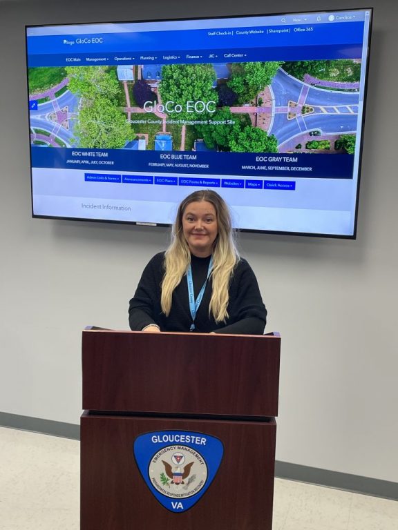
Candice Smith, a GIS specialist with Gloucester’s Geographic Information Systems Department, recently developed GloCoEOC, an interactive mapping and dashboard system that will be instrumental to assist in workflow needs during an emergency within the county.
When the county activates its Emergency Operations Center during an emergency, the new system will allow each person with a critical role to know what others are doing within the EOC.
“When the EOC is activated, it can sometimes be hectic, making it difficult for all the working parts to communicate critical information with one another,” Smith said. “My hope with developing GloCo is to make the process seamless.”
GloCoEOC is designed to improve the workflow between the call center, which is the communications hub during an emergency, and the EOC. The software is fully customizable and completely digital, so there will be no need for multiple pieces of paper that would oftentimes get lost as they got shuffled from table to table. I...
To view the rest of this article, you must log in. If you do not have an account with us, please subscribe here.